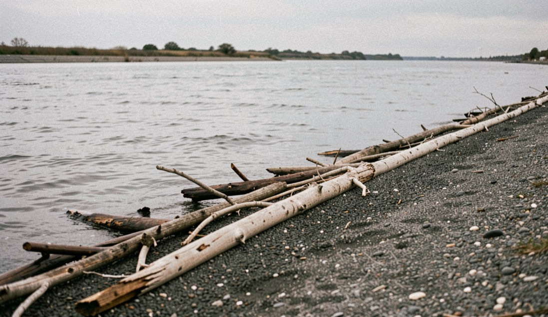
A clock the shore keeps
Tides are one of the most reliable phenomena in the world. The sun comes up in the east, the stars come out, and the water along the shore still rises and falls on its own schedule. The National Ocean Service lays out the cause in its education pages. A tide is a very long-period wave moving through the oceans under the forces the moon and the sun exert, born in open water and progressing toward the coastlines, where it shows up as the ordinary rise and fall of the sea surface. The crest of that wave at a given spot is high tide. The trough is low tide. The difference in height between the two is the tidal range.
Why the rise moves water sideways
The rise carries a current with it. Near the shore, the vertical motion of the tide sets the water moving horizontally, and that horizontal movement is the tidal current. Water climbing toward the land floods. Water falling back toward the sea ebbs. In the open ocean the tidal current runs weak. Where the water is squeezed, at estuary entrances, in narrow straits and inlets, its speed can reach several kilometers per hour. Along the coast, and into the bays and estuaries, the flood runs one way and the ebb runs the other, and on most shores the pair repeats with the two highs and two lows of the day.
What is slack water?
The strongest flood and the strongest ebb usually run before or near the time of high and low tide. The weakest water falls between the two, and the quiet stretch has a name, “slack water”. In coastal rivers and estuaries the current runs one way, then the other, a pattern those pages call “rectilinear” or reversing, and the turn passes through a slack of no velocity, lasting from seconds to several minutes, that generally coincides with high or low water. Then the current switches direction and builds speed again. A channel that goes dead, then runs the other way, is showing that sequence. The definitions above come from the National Ocean Service tutorial, whose tide pages run from the forces behind the wave to the monitoring of it.
Why does the moon outrank the sun?
Tidal currents are the only type of current affected by the interactions of the Earth, the sun and the moon, and the moon does most of the work. Its force on the water is much greater than the sun’s because the moon stands 389 times closer to the Earth. Phase matters as much as distance. At full moon and new moon the currents run strong, called “spring currents”. At first quarter and third quarter they run weak, called “neap currents”. The orbits add a lever of their own, both paths being ellipses: at the moon’s nearest approach the currents run stronger than average, perigean, and at the farthest they run weaker, apogean.
What a funnel does to the water
Shape magnifies what distance and phase set in motion. The form of a bay or an estuary can raise the intensity of the tide and the current it produces, and funnel-shaped bays in particular can dramatically alter the current’s magnitude, the same water having to squeeze through a narrowing mouth. The tutorial’s example is the Bay of Fundy, in Nova Scotia, where the tide carries a range over 15 meters. The daily climb also governs estuarine ground: the same pages point to a research reserve in California where the rise of water into the wetlands is the event the estuary lives by. A river mouth works the same mechanism at a smaller scale.
Two highs, two lows, or one of each
If the Earth were a smooth sphere without continents, every shore would see two equal highs and two equal lows each lunar day. The continents break that order. They block the westward passage of the tidal bulges as the Earth turns, and the tide settles into patterns that differ from one ocean basin to the next. Three patterns cover the major shorelines. Two highs and two lows of about equal height make a semidiurnal tide, the tendency on the East Coast. Two of different height make a mixed semidiurnal tide, the tendency on the West Coast. One high and one low a day make a diurnal tide, as over much of the Gulf of Mexico. The tutorial’s map assigns the pattern to a shore, not a rule of thumb.
Where the tide argues with the river
The Nushagak flows about 240 miles from its headwaters to Bristol Bay and is the fifth largest river in Alaska by the volume of water it discharges. This almanac keeps a separate page on the drainage as a whole. At the department’s sonar site in the lower river, the channel runs about 1,000 feet wide and about 19 feet deep at its deepest, gravel and pebble broken by sand, mud and grass. The bay’s tide reaches up into that channel daily. From low water to high water the level climbs about one to two feet, and the river’s flow slows.
That is the argument, and on most shores it runs twice a day: the river pushes seaward, the flood pushes back, the ebb lets the river go. The department placed its counting site far enough upstream to avoid the major water level swings the bay’s tide imposes, close enough to the mouth to count salmon early in the run, below the spawning grounds so every fish passes, and where the fish travel a single channel. The sonar site page does not publish the bay’s tidal type or its schedule. It records the rise and the slowing, and it is one piece of how a run is counted.
Read the station, not the water
The set of the bay is a published thing, not a matter of memory. Open the National Ocean Service tutorial’s pages on monitoring the tides, follow its Roadmap to Resources to the tide predictions for the station nearest the mouth, and copy the predicted times of high and low water for two mornings in one week. Set them beside the sonar site page, which tells the reader how far upstream the tide still moves the river. One document carries the clock, the other carries the channel, and the reader who holds both stops guessing. The same two documents run an island trip, where the ferry schedule and the tide table are read together or not at all.
The National Ocean Service tutorial on tides
The National Ocean Service keeps an online education tutorial on tides and water levels, written for students and open to any reader. Its pages run from what a tide is, through what causes tides, gravity and the bulges, the frequency of tides, tidal variations, the types of tidal cycles, what else affects tides, to how the tides are monitored. A companion tutorial on currents covers tidal currents, waves, rip currents and the wider circulation of the ocean.
The tide page ends where the water leaves off: the moon and sun set the clock, flood and ebb keep it, slack water holds its breath, and the lower Nushagak answers with its own timing. A field note from another coast follows the same habit of reading a place by its cycles. In Unazuki Onsen, the bath is read, the town is walked, and the Kurobe canyon sets the table across the seasons. the bath and the walk carries that reading further, from tide tables to a hot spring town.
The tide page ends where the water stops being a clock and becomes a place. Flood and ebb follow the moon and the sun, slack water is the pause between them, and the lower Nushagak carries that rhythm into its channels. The same patience applies to people in the water. A page on swimming in Fife describes how a child learns to swim without pressure, how front crawl differs from breaststroke, and how children and adults learn there. Read it beside this one: one page counts the water, the other teaches a body to meet it.