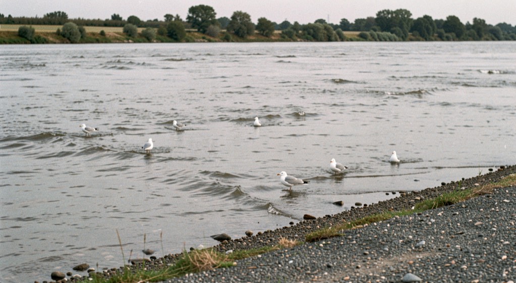
Why count a river by sound instead of sight?
A weir or a counting tower asks a person to watch fish pass in clear, narrow water, and the Nushagak offers neither. It is wide and it carries silt, and no eye can follow a salmon through it. The department’s Fisheries Sonar Program was built for rivers of this kind, to give timely in-season information on run strength, close to the fisheries that intercept the fish, so that harvest can take what the run allows without spending the years that follow.
The method is borrowed from an animal that hunts the same water. In silt-laden bays and rivers, beluga whales find salmon with high-pitched calls and listen for the returning echoes. The department listens too, with a transducer standing in for the whale, and turns returning echoes into the count this page follows from the tide line to the spawning grounds.
Two tents on one channel
The site sits on the lower river, twenty-five miles upstream of the commercial fishery and two and a half miles downstream of Portage Creek. Two counting stations face each other diagonally across the banks, a main camp on the north shore and a second station on the south, each with a sonar transducer submerged just under the surface beside the bank. White tents, buoys and partial weirs make the place readable from a passing boat.
The department names its reasons for this reach plainly. It lies below the spawning grounds, so every salmon passes the counters before it stops to spawn. It lies near the mouth, so the count starts early in the run and the estimates arrive in time to matter. And the river here moves its fish through a single channel, which is what makes one pair of banks enough. The reach drains the Nushagak drainage, the fifth largest river in Alaska by the volume of water it discharges.
What the beams show
Between the stations the channel runs about a thousand feet wide and nineteen feet deep at its deepest, over gravel and pebble patched with sand, mud and underwater grasses, with a trough some three hundred feet off the south bank. The tide still reaches this far up, lifting the water a foot or two each day and slowing the current as it rises. It is uneven, moving ground, and that is the first thing the instrument has to survive.
The tool is imaging sonar, DIDSON and its successor ARIS, multi-beam units that push a fan of beams across the water column: forty-eight beams reach 164 feet from the transducer, ninety-six reach 98 feet. High-frequency sound paints the whole surface of a fish, so a technician watches video-like images and counts as a tower counter does, except that the film can be slowed, replayed or stopped, and each fish can be marked and checked by a second reviewer. Software subtracts the bottom and the stationary objects, leaving only what moves, which is what lets sonar work over rough ground.
Sockeye on the edge, kings in the middle
The site was designed to estimate sockeye escapement, and for sockeye it works. Across that thousand-foot channel, migrating sockeye swim almost entirely within fifty feet of shore, inside the beams the whole way. King salmon are larger fish with other manners, and they often travel mid-river, beyond the reach of the sound. The department says as much on the Nushagak sonar page, which is where the design of the count is explained.
A king count here is therefore a proportion, not a total. A partial count still serves, so long as the proportion holds steady from year to year, because a steady proportion works as an index of the run. Biologists have worked under that assumption and tested it, with a three-year project begun in 2011 to track king salmon past the site. The king figures draw steady interest from the sport fishing community all the same.
Can a machine tell a king from a sockeye?
No sonar used in rivers can separate species of similar size on sound alone. What imaging sonar can do is measure. Lengths taken from DIDSON and ARIS images have proved accurate enough, up to about a hundred feet from the transducer, to tell a large king from a smaller sockeye, and biologists on the Kenai River have used image lengths that way since 2010. An ARIS study on the Copper River, running since 2018, keeps asking the same question for Chinook there.
The work is slow because the files are heavy, more than thirty gigabytes a day on some projects. Attempts to automate the measuring have been site-specific and have not held up under the dense passage of an Alaska run, so the measuring stays manual. Research on tail-beat frequency, another possible signature of species, is not yet settled.
What an escapement number is not
Escapement is the share of the run that gets past the fisheries and reaches the spawning grounds. The sonar estimate is a produced figure, not a census: counted fish, sorted by species, read against goals. For kings on this river it is not even that, only an index of a proportion believed to hold.
The goals themselves live in a published table. The department’s Bristol Bay escapement page carries sockeye goal ranges for nine rivers from Ugashik to Togiak, and a separate Chinook range for the Nushagak. In years when the preseason forecast for the Nushagak or the Wood is large, the upper end of the goal lifts by a set share of that forecast; in smaller years it reverts to a fixed range. This almanac does not print the values. The table does, and it is the document to open whenever a number is quoted without one.
Who acts on the count
The count exists so that managers can move while the run is still running. Openings, extensions and closures on the eastside and westside fisheries arrive as numbered announcements and emergency orders, published as they happen, with recorded phone lines carrying the same news. The Bristol Bay pages also carry a daily run summary with preliminary in-season escapement estimates, refreshed through the season, and that summary is where a day’s figure first appears in public. This is how the run is managed, on numbers that are still estimates while they are being used.
On a July morning, open the daily run summary, find the Nushagak line, and set it beside the goal table and the latest announcement. Three documents, one number in motion, and the distance between them is the fishery. The same water is read at a smaller scale on the tying bench, where what a brass bead does under water decides whether a fly reaches the counted fish at all.
The Nushagak sonar site page
The Nushagak sonar site page sits on adfg.alaska.gov, inside the Alaska Fisheries Sonar section of the Alaska Department of Fish and Game. It carries six parts: an overview of the site, the site and river themselves, the fish, the sonar tools, other tools, and multimedia. It publishes no daily counts and no goal values. It is the page that explains how the numbers are made, and it names the sonar program the counts come from.
The sonar page follows sound through two stations in one channel, where imaging sonar returns a number and the daily documents carry that number forward. The same care with a record applies elsewhere on the site, where a different kind of learning is set out step by step. A page on learning to swim without pressure describes how a child learns without pressure, how front crawl and breaststroke differ, and how children and adults learn in Fife. Readers who came for the count may find the method there.
The Nushagak sonar page ends where the water leaves the count: two stations, one channel, imaging sonar, and the documents that carry each day’s figures. A reader who has followed the sound to the number may want the other half of the same habit, the part that begins at the surf line and asks what a wooden plug is built to do in it. That is the subject of reading the surf line, a field note on American wooden surfcasting plugs, their families, weighting, and wiring, kept to one public source.