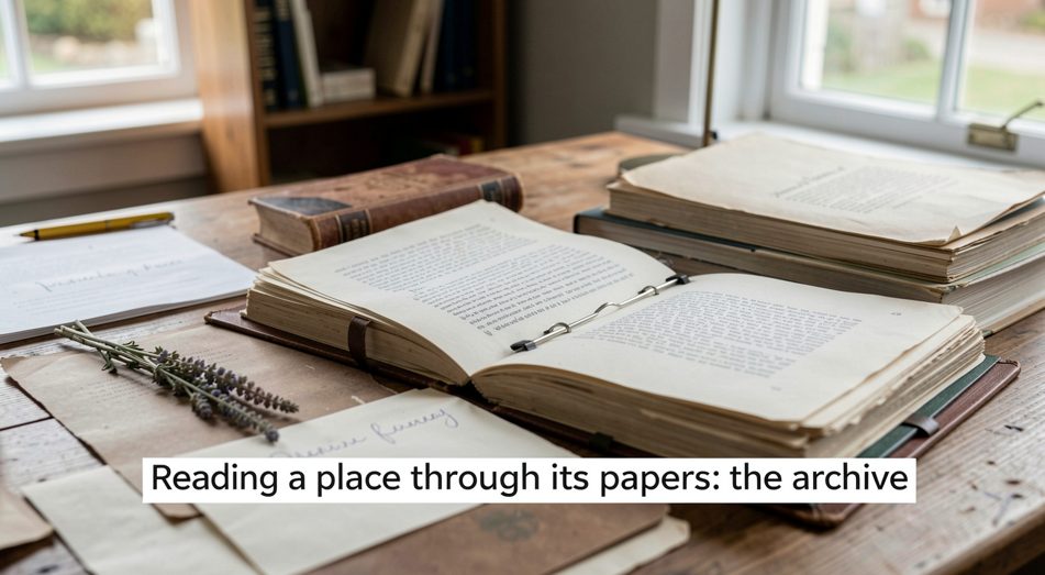
The ground was documented before it was walked
The almanac has so far treated a place as something read on foot: the cover, the water, the sign. There is a second reading, done at a desk, and it is older than the first. The deed, the census entry, the township minute, the newspaper notice, the surveyor’s notebook: a piece of ground in settled country has a paper existence that runs back further than the oldest living memory of it.
This page is about that second reading: where the record of a place is kept, what it can tell the first reading, and the method of an archive used properly.
A township’s record is usually kept as a working collection rather than a monument, which makes it more useful and harder to use. The local history site for the north of Renfrew County in Ontario keeps the record the way it is actually kept: by collection, by document and by dated entry, with the census aid and the municipal decisions and the newspaper index in their own runs, as the paper record of a township like that one shows for the upper Ottawa valley. The almanac’s interest is the method: a local archive is the same instrument as a field notebook, scaled up to a county.
Where does the record of a place actually live?
In layers, and the layers are the method. The legal description lives in the land records, the lot and the concession and the metes and bounds. The people who held it live in the census and the assessment rolls. The events that touched it live in the local paper, the council minutes, the court record. Each layer is kept in a different place by a different institution, and the skill is knowing which layer answers which question.
The ordering matters more than the source. The question asked of the record decides which layer to read, and the archive that is approached with a question returns an answer, while the one approached without one returns a pile.
What can the papers tell the field?
More than the field can tell itself, on the questions where the field is silent. The field says what the cover is now; the record says what it was. The field says where the water is; the record says where it was when the surveyor came through, which is often the more interesting answer. The field says the fence is old; the record says whose line it was meant to mark.
This is the reading that gives a place its depth. The woodlot that was a pasture within living memory, the field that was an orchard, the pond that was a gravel pit: the record holds the previous versions of the ground, and the previous versions are why the ground is what it is now.
How is a local archive actually organised?
The entries in it are the same discipline the last page described. A dated entry, a named source, a record kept by someone whose only job was to keep it: the archive is the public ledger, and the field notebook is the private one.
What does the public instrument add?
The national record, which is where the local one runs out. The census, the weather history, the survey, the legislative record: the federal instruments of a country are the top layer of the archive, and the one that is kept at the largest scale. The United States government’s own document collections are kept at the public pages of govinfo, which is where the census, the record and the compiled statute are read at the source rather than at the summary.
The two instruments answer different questions, but they are read the same way: with the question first and the source second, and the answer checked against the document rather than the memory of it.
Does the archive change the field?
It changes what the field means. The ground read alone is the present tense of a place; the ground read against its papers is the whole sentence. The survey that was wrong, the use that was stopped, the road that was planned and never built: the record is the ground’s memory, and a place read without it is a place read in one season only.
The archive’s hours are the real schedule. A collection that opens two afternoons a week is a smaller instrument than its catalogue suggests, and the reading that depends on it has to be planned like a ferry crossing: know what you are looking for before the door opens, because the time on site is the scarce part.
The names on the land have a second kind of keeping, older than the record and more durable, and it is the next note: the names a village keeps, about the monument as a document in stone.
The second survey keeps its own paper trail, and the same method carries across entries. A ground record assembled from deeds, census returns and newspaper notices can be read beside a record of a building, where the documents name a founder, an architect and the years a structure held. The Kobe Mosque of 1935, funded by Indian traders and designed by a Czech architect, is set out in the same way, from its opening to the war and the earthquake that followed, in Kobe Mosque founder 1935.
The desk survey has a second half, and it runs along a river. The registers, the festivals, and the documentary guide that maps the ground are the same kind of paper as the census and the newspaper record, kept by people who live where the ground is. A reader who has followed the archive this far can go on to reading a Polish village, a field note on local culture and Polish heritage along the Warta valley. It is the same method, applied to a valley rather than a township.